Click the BACK-button to return to the ladder-page, or use
the browser's return arrow to go back to your previous view
(same ladder-position)
Click the NEXT-button to continue with the next bigger version
This is a reduced representation
at 1368 x 900 pixels, but the
downloaded image will contain
a full 4095 x 2694 pixels.
Download in the usual way
(click right, Save image as…)
These pictures are made available under the
Creative Commons Attribution-ShareAlike License
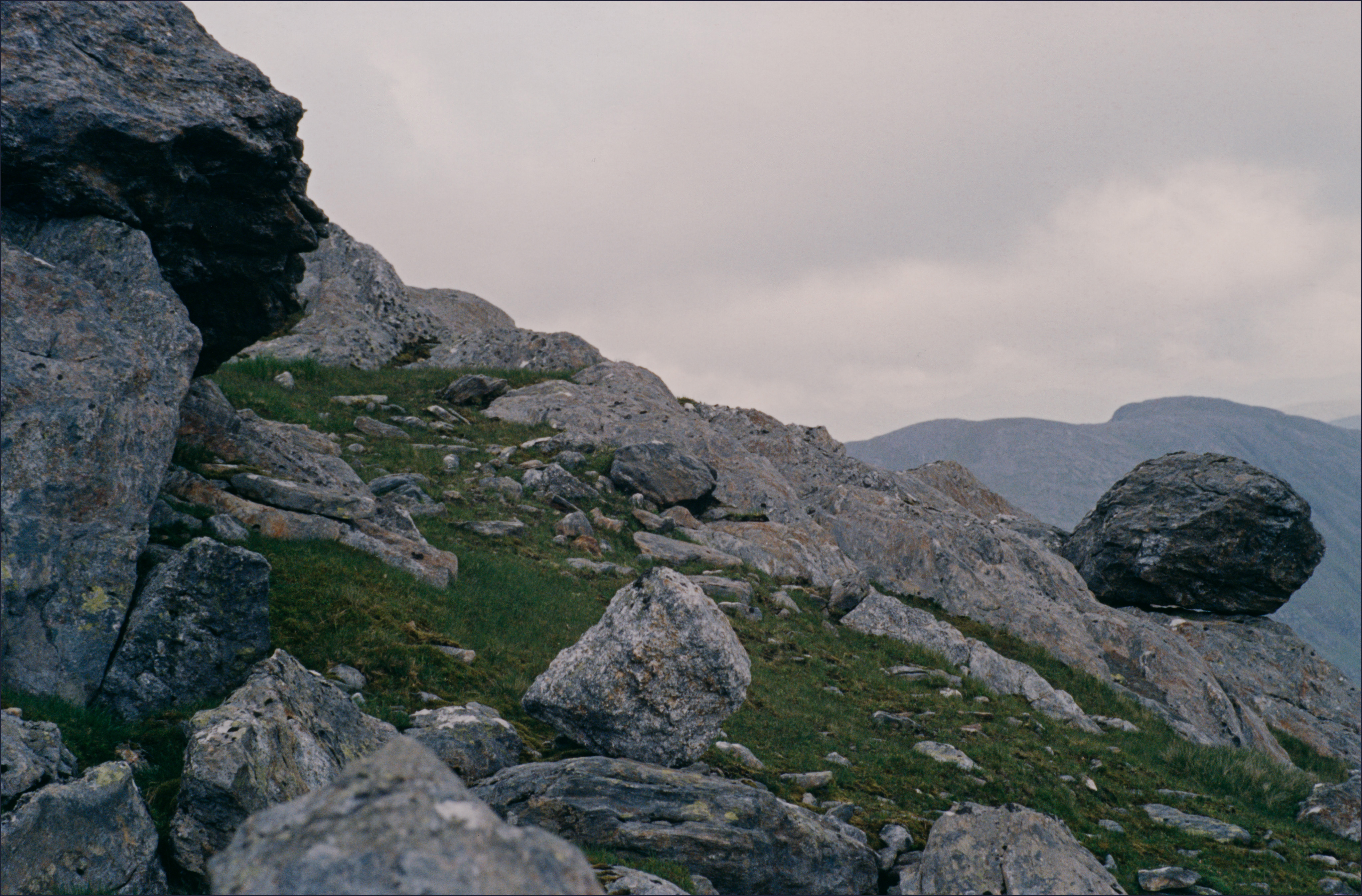
198_0622_173100ELH
Rocks at dusk around the top of Sgurr Beag; here is an old path. The plan was actually to continue over from Sgurr Beag to An Eag and Druim Buidhe, before descending from An-t-Sail – the northeast tip of Druim Buidhe. But it's already quite late and getting way too dark, to say nothing of the threat of rain.