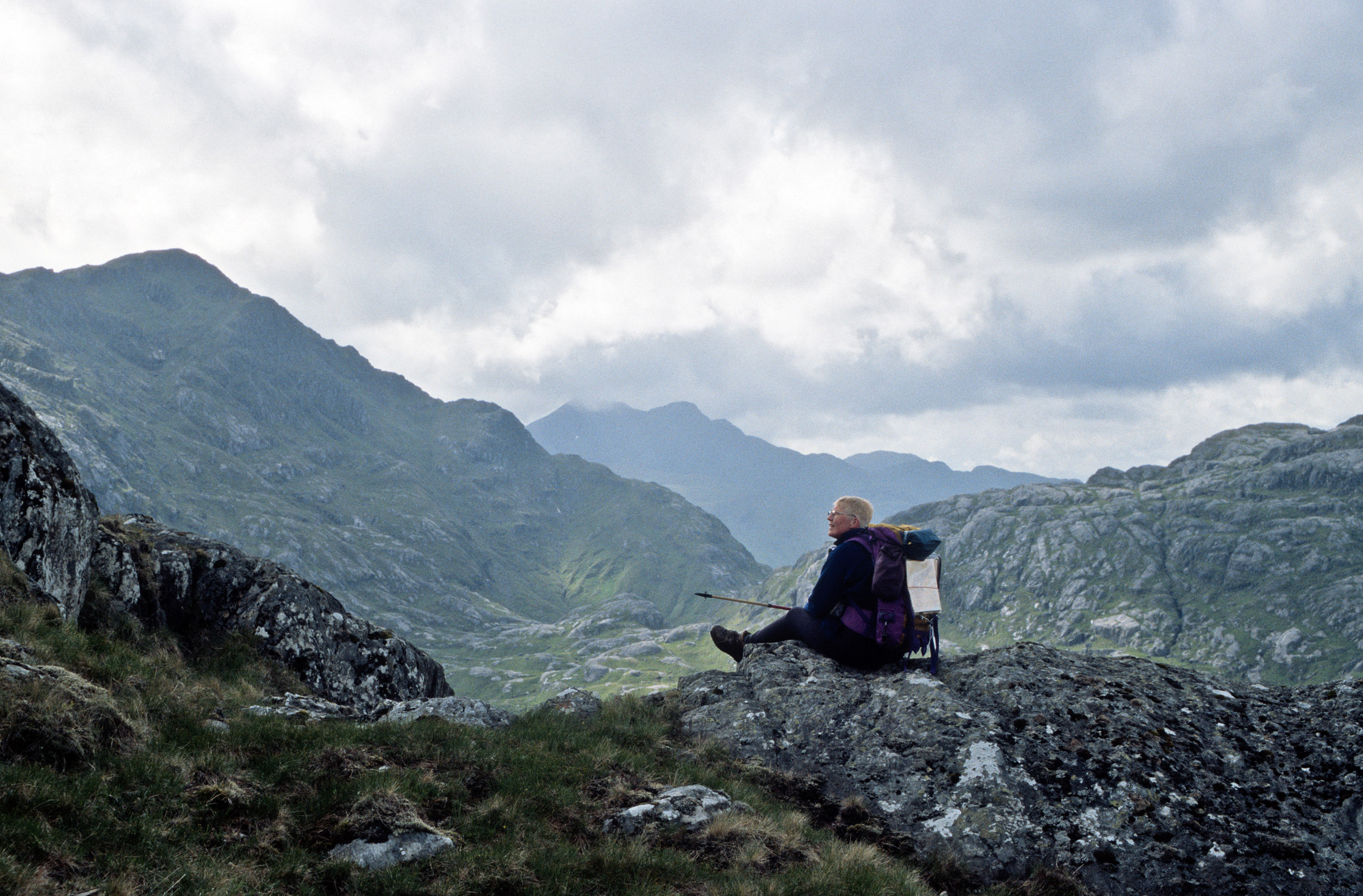
On the slope of Glùn Doire na Seagain, Mieke rests (well, *poses*) for a while, on her way to Sgurr a' Choire-bheithe. This hill is the left peak; in the distance we see Ladhar Bheinn with Stob a' Chearcaill, and on the right the foot of Slat Bheinn. At Mieke's feet ‘upper Gleann Còsaidh', with the peculiar humps of Aird Chadhachan now catching the midday sun. On her backpack is the map, OS Pathfinder #236, such a handy, extremely well-organized and detailed map, regrettably now only available as an antiquarian relic.
This is a reduced representation at 580 x 381 pixels, but the downloaded image will contain a full 2400 x 1579 pixels Download it in the usual way (click right - Save image as...)